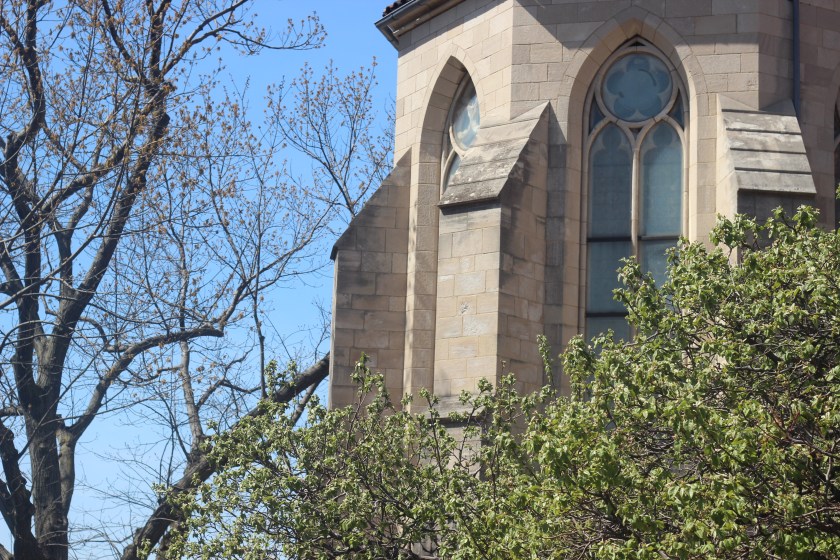
The MET Cloisters
The Cloisters are a treasure of New York City. A medieval castle, with the most beautiful grounds, stunning architecture, and glorious artifacts in the galleries and chapel. The Cloisters are an extension of the MET – the Metropolitan museum of art. The location is in the charming and peaceful Fort Tyron park, in the Washington Heights neighborhood of upper Manhattan.


A mini getaway
A visit to the Cloisters, almost seems like a mini getaway from the chaos of Manhattan. You don’t even feel like you are in New York City! The peace and quiet makes a visit to this unique museum so calming and relaxing. You feel as though you have stepped back in time, and the location makes it so much more charming. As the scenery is stunning.


What to see
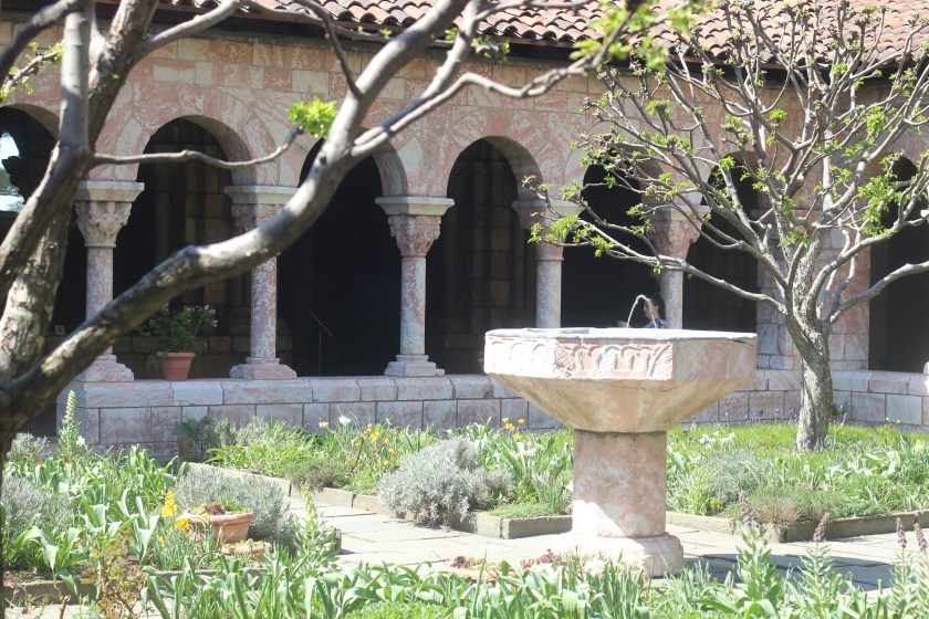
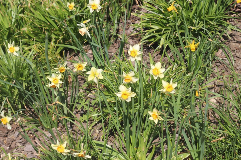
The grounds of the Cloisters are so charming, and a favorite of mine is to visit the gardens. With multiple gardens on offer no trip would be complete without exploring at least one.
Cloister gardens
- The Cuxa Cloister
- Saint Guilhem
- Boonefont
- Trie
The Cloisters contains an impressive selection of chapels and halls, all with stunning architecture and art work.
Halls and Chapels
- Gothic chapel
- Fuentiduena chapel
- Langon chapel
- Romanesquet hall

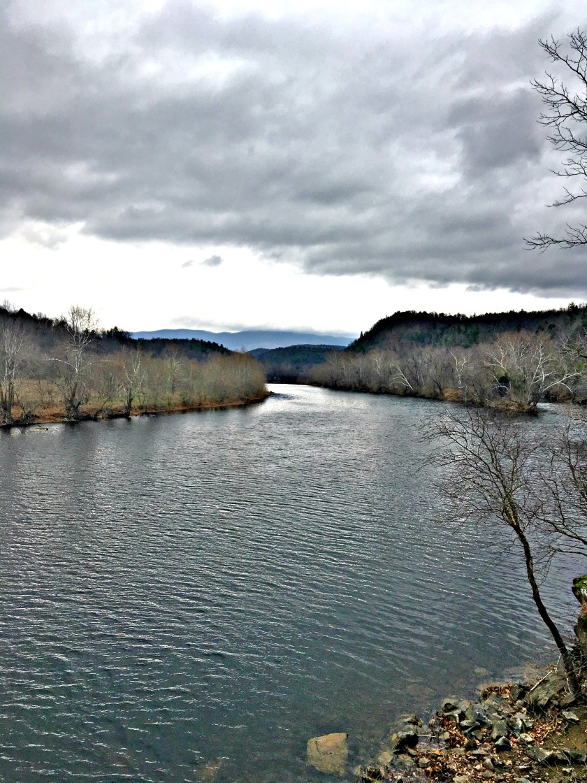
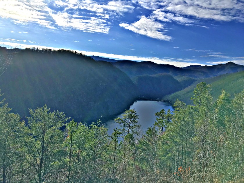
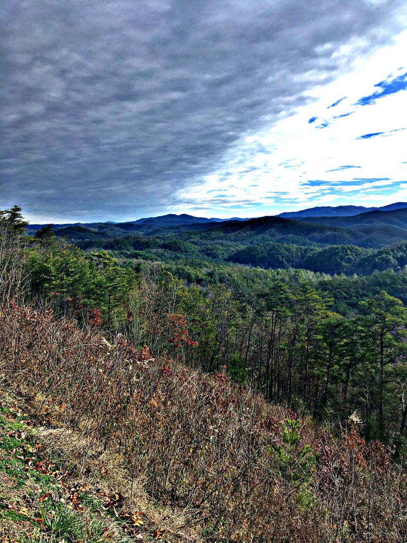
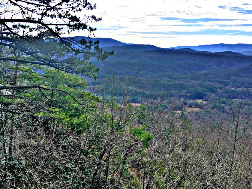
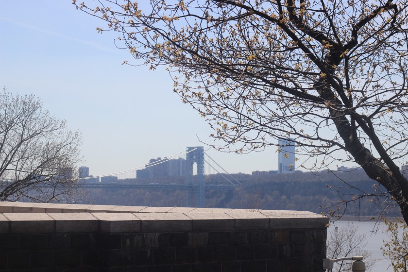
Views of the Hudson
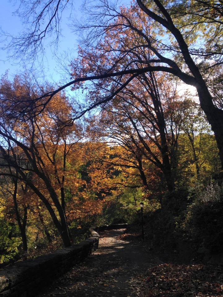
A highlight of the Cloisters is the view of the gorgeous Hudson river. After exploring the exhibits and gardens, head to the balcony to take in these sights. These sights will also include the George Washington bridge and views of New Jersey. I have visited the Cloisters multiple times and the prettiest time to visit is during the fall to see the gorgeous fall colors along the Hudson.


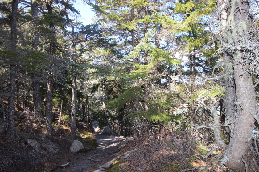
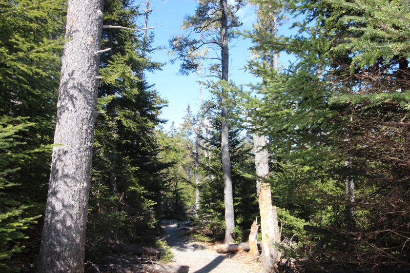
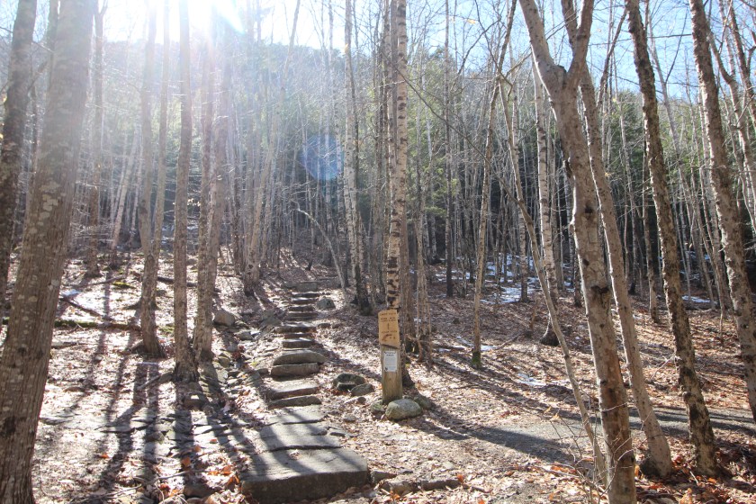
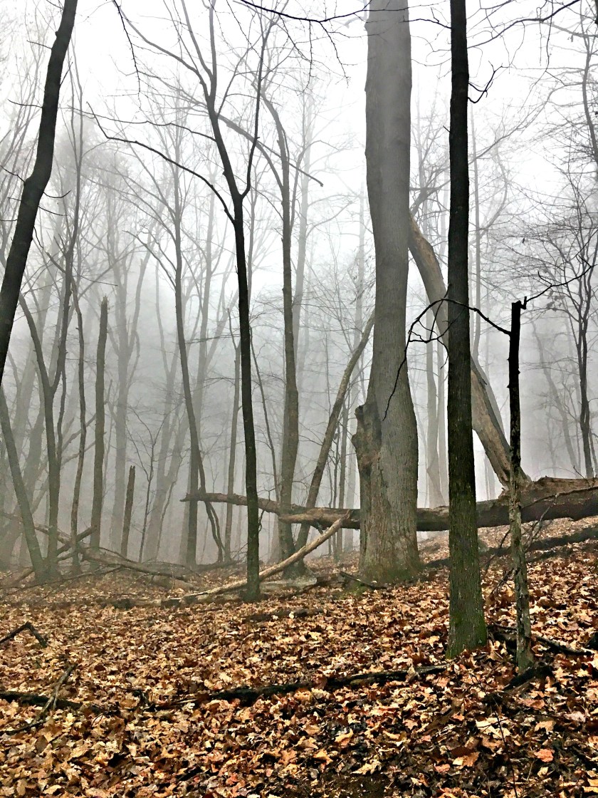
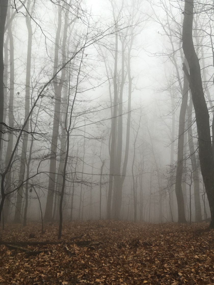
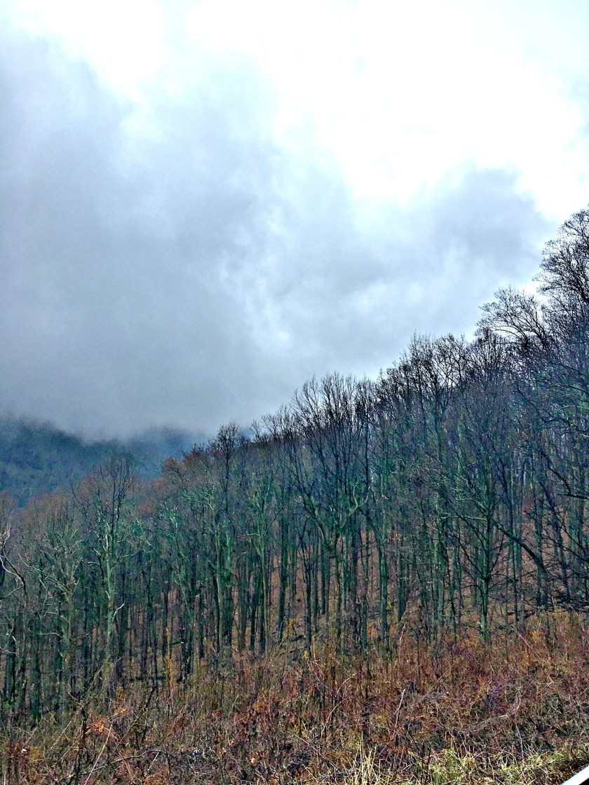
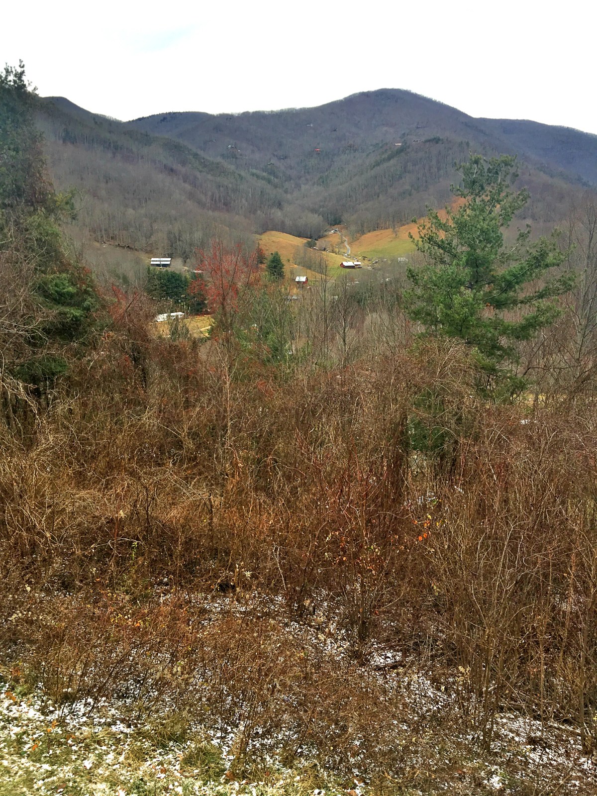
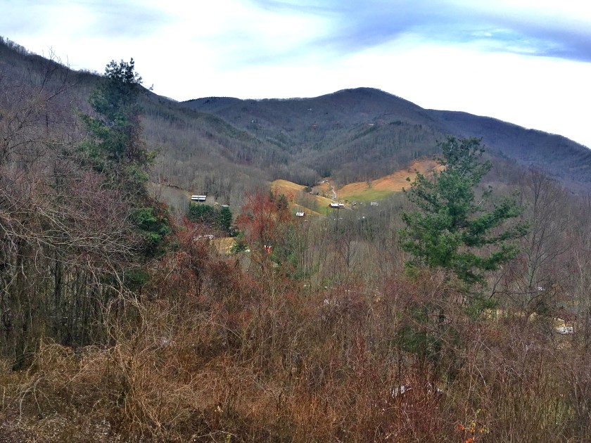
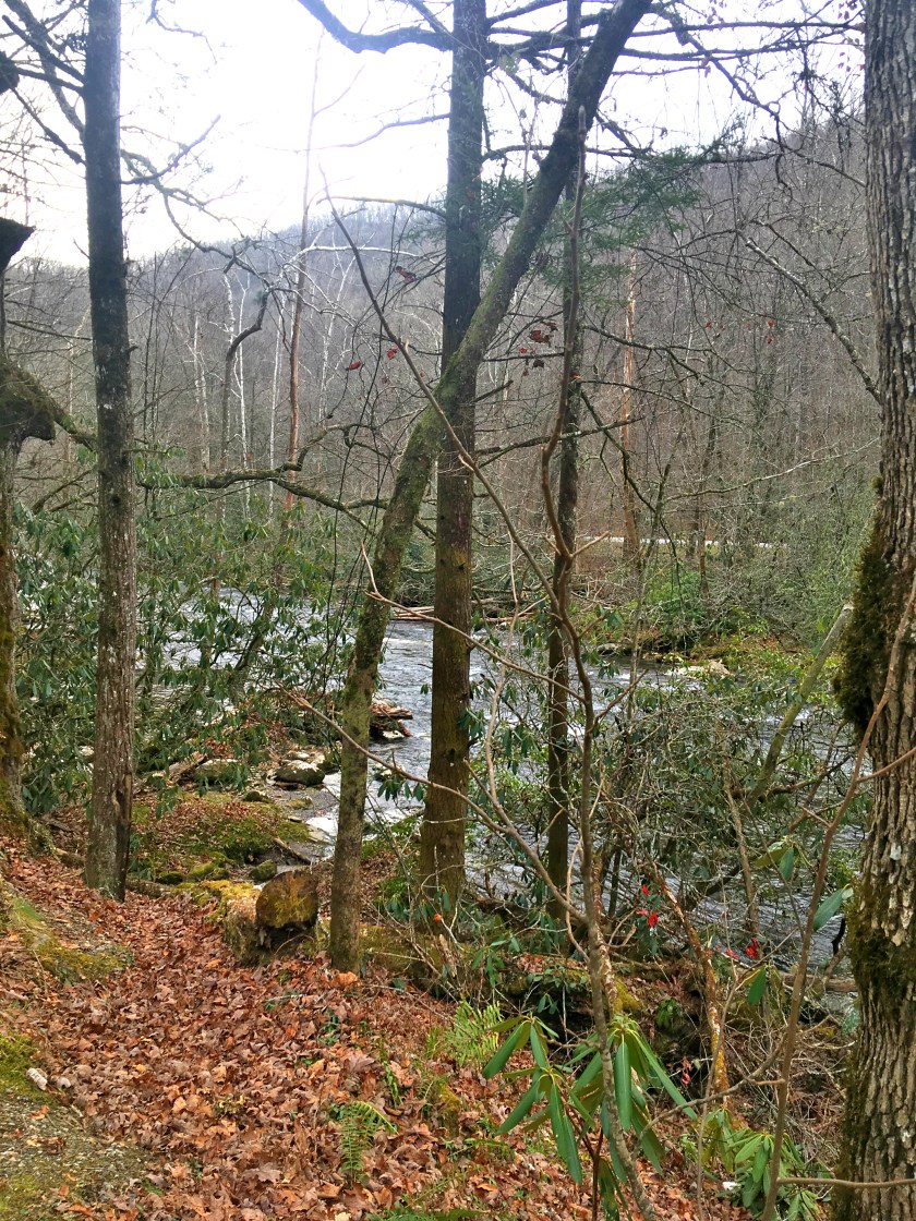
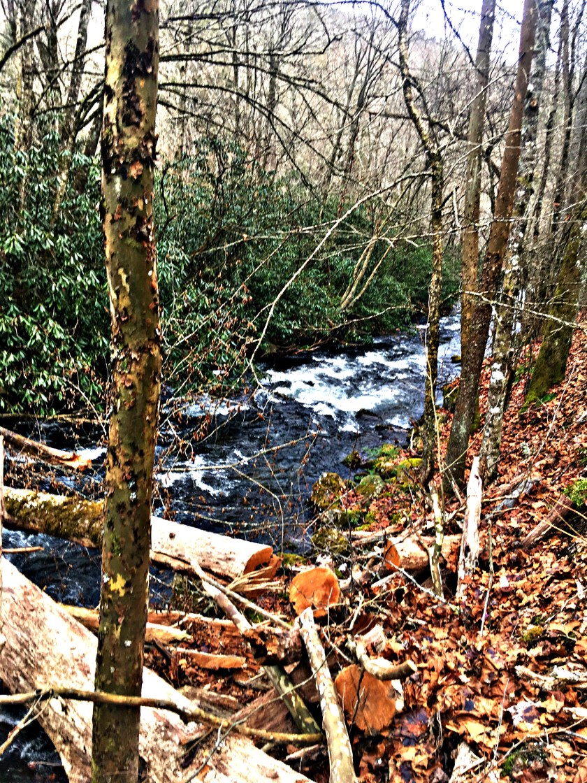
Fort Tyron park
Before or after exploring the cloisters, I would recommend walking through the absolutely beautiful Fort Tyron park. Considered to be one of the city’s most beautiful outdoor pieces of art.


Getting to the Cloisters
Located in Northern Manhattan, you can take the A subway (Blue express line) uptown to the 190th street subway station. From the station you can either follow the signs to the museum, by walking through the stunning Fort Tyron park. Or take the M4 bus to Margaret Corbin Dr/Cloisters museum.